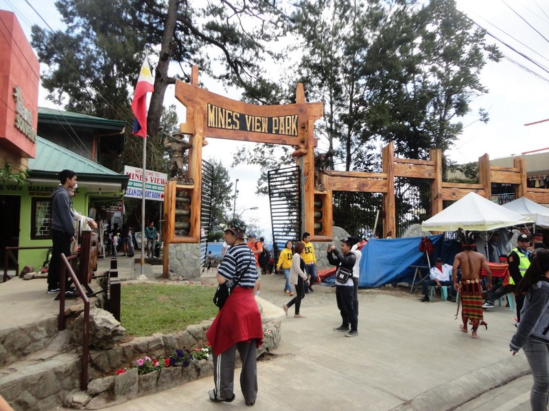
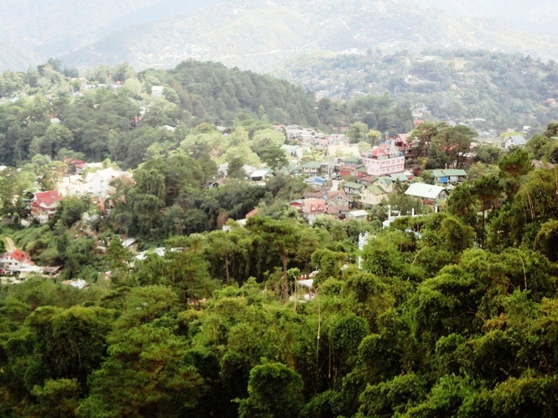
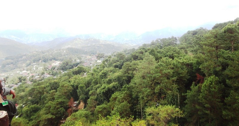
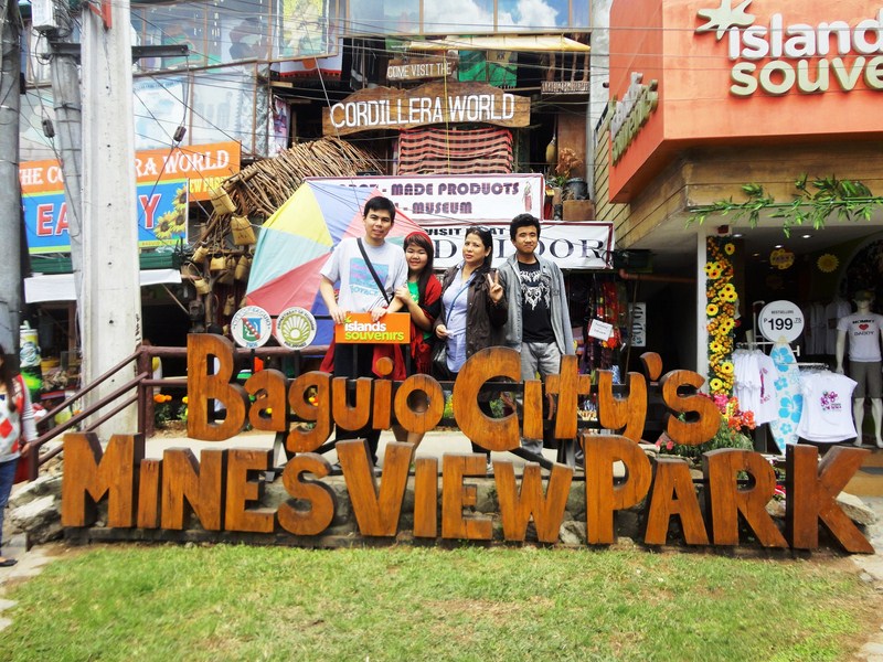
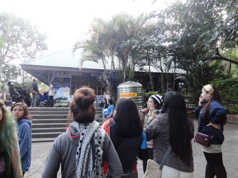
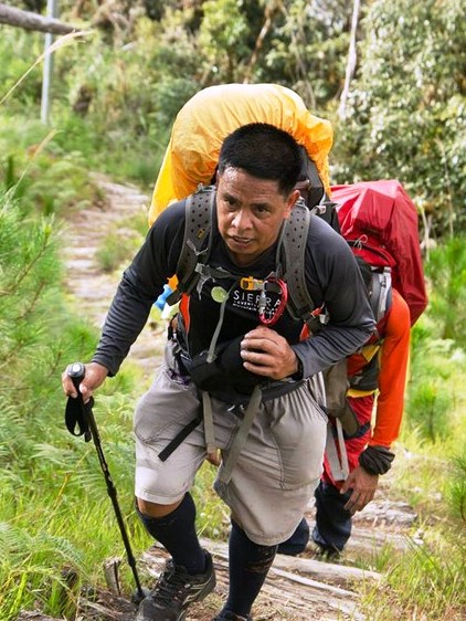
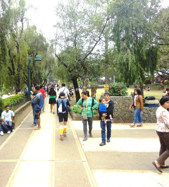
From Mines View Park, Melissa, Almira, Albert, Jandy and I walked back to EGI Albergo de Ferroca Hotel, where we rested a while, then took a taxi for Burnham Park, the city’s foremost and oldest park that forms the heart of the city. The ‘mother of all parks’ in the Summer Capital of the Philippines, it is almost as familiar to Filipinos as Luneta Park in Manila.
Burnham Park – green lung of Baguio City
This 32.84-hectare urban park, located at the heart of Baguio City, was named after the American architect and urban planner, Daniel Hudson Burnham who simultaneously designed the park and the original plans for the city. Construction began around 1904. During the devastating earthquake on July 16, 1990, the park played an important role when it served as a place of refuge for the people of Baguio.
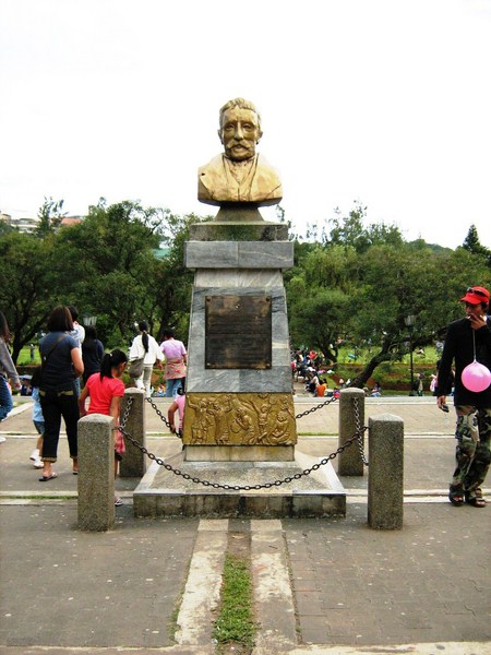
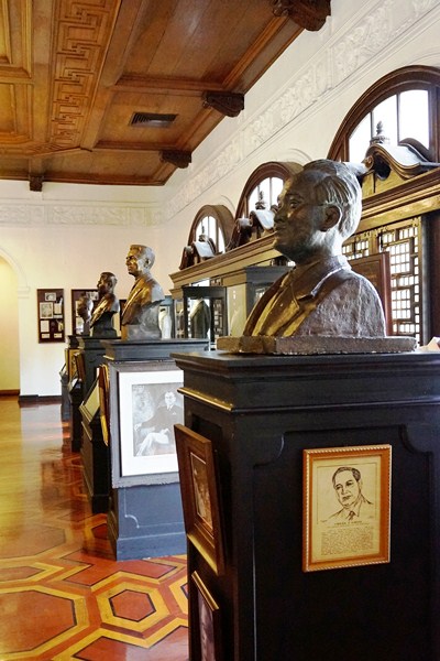
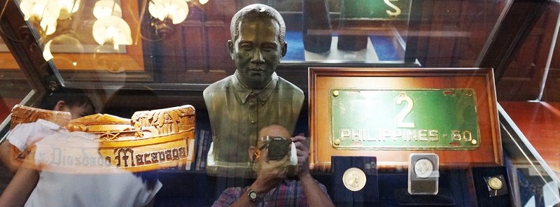
The bust of Daniel H Burnham
Burnham Park, overlooking Mt. Kabuyao, covers the only large expanse of level ground within hilly surroundings and was originally intended to serve as a much-needed green lung for the bustling city by providing it with wide open green spaces and a peaceful environment. The modern park, although smaller than the original park due to urban development, still retains much of Daniel Burnham’s original design and layout a century ago.
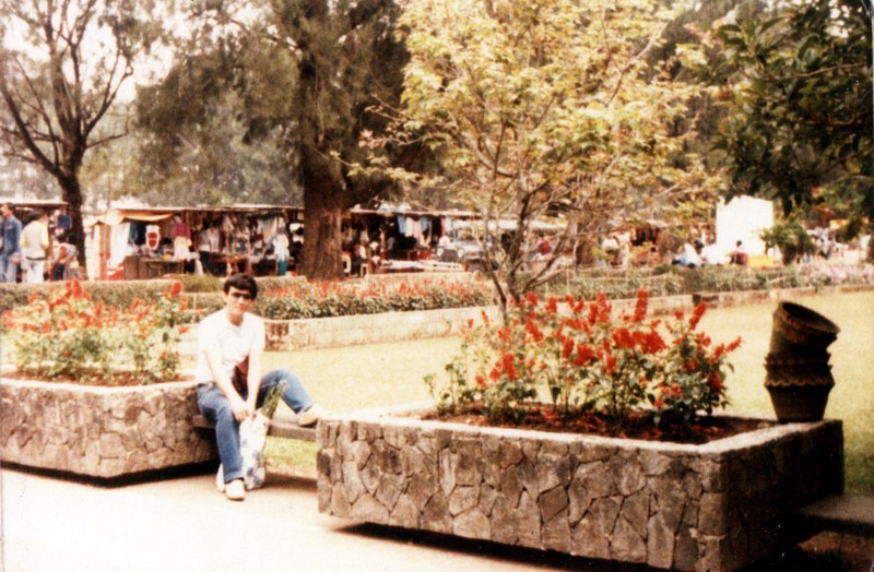
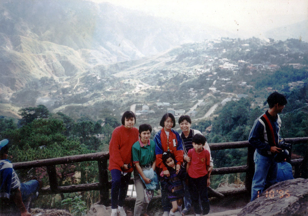
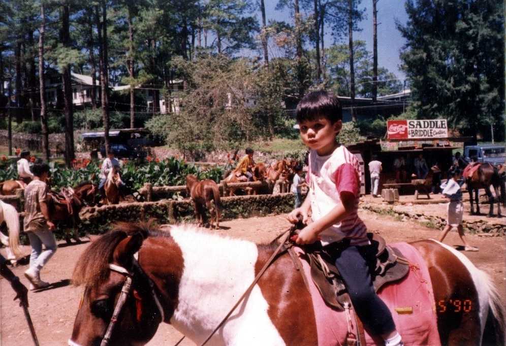
Author at Burnham Park, April 3, 1986
Under Filipino administration, a number of features were added and now, in true Filipino fashion, Burnham Park is now more of an amusement park with boating, bicycle and skating areas, sports and gaming areas (football field, tennis courts and basketball courts), plus a few restaurants and eateries that cater to park-goers. In the morning, residents jog around the lake or the children’s playground while groups do healthy exercise routines such as zumba, tae-bo and sometimes tai-chi.
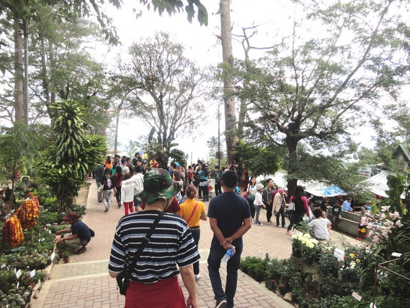
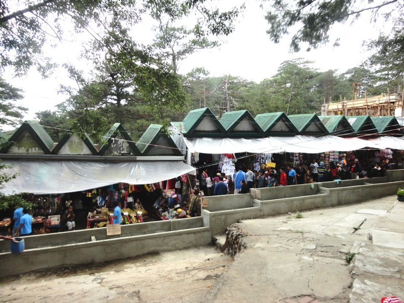
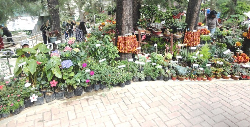
Baguio Blooms Exhibition And Exposition at Burnham Park
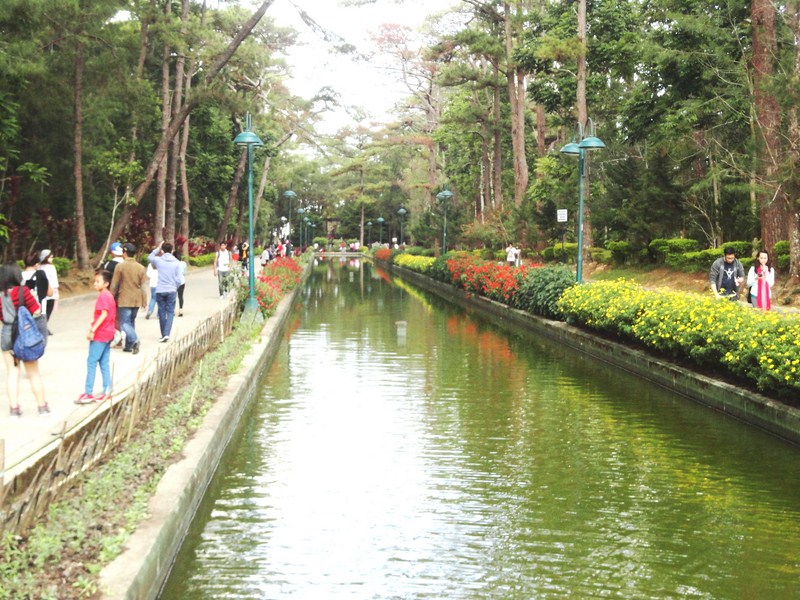
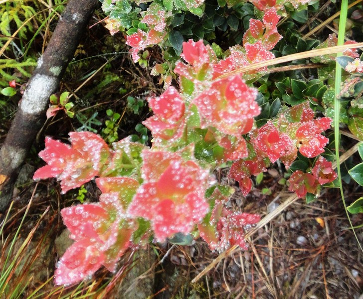
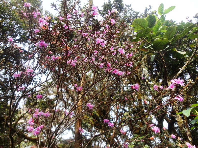
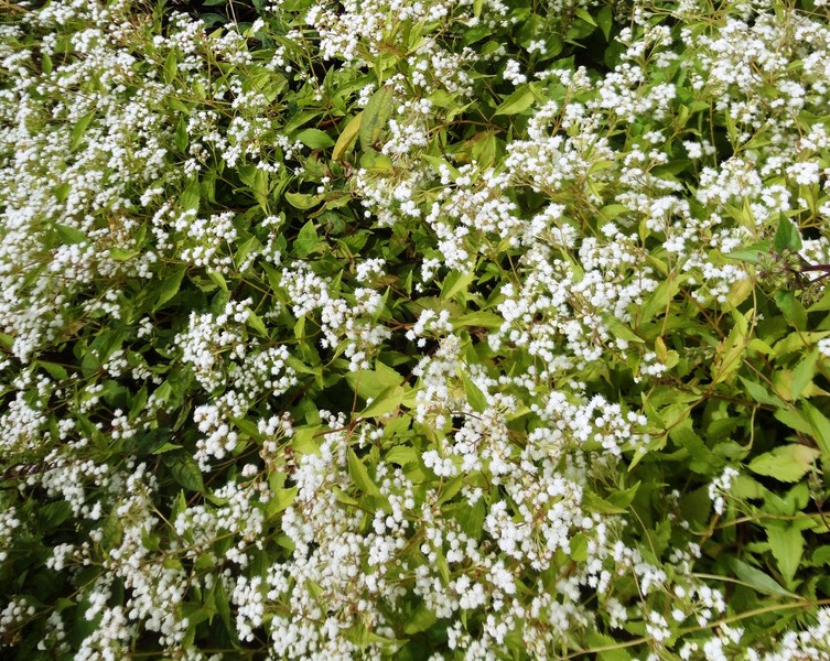
The centrally located and thickly-wooded Burnham Park has a man-made lake; lawns; wooded areas; paved flower-punctuated pathways, with seats and benches throughout; and numerous flower beds planted with roses, marigolds, daisies and hollyhocks that thrive in the temperate environment of Burnham Park, an unusual sight considering that the Philippines is mostly tropical. During the June to September rainy season, the park is often shrouded in fog and takes on a misty atmosphere. Following the end of the rainy season, flowers bloom in abundance.
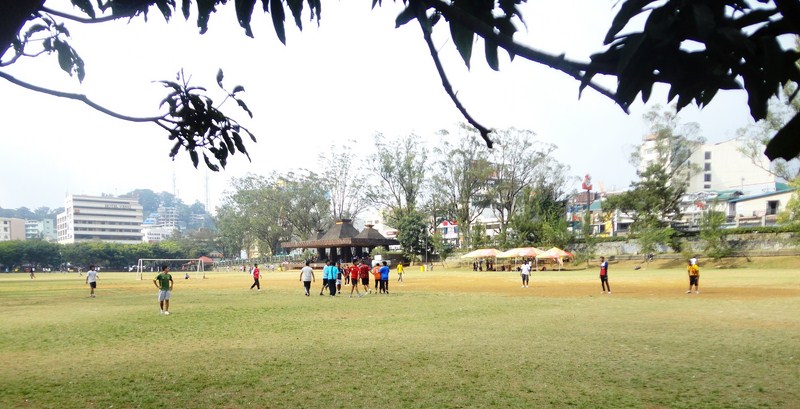
Football Field
Burnham Park, a scenic venue for walking and photography, has 12 cluster areas: the man-made Burnham Lake, the Children’s Playground (at the western part), the circular Skating Rink (at the southern part), the Rose Garden (with a bust of Daniel Burnham), the Orchidarium (at the western part, with various plants, flowers and orchids on display and for sale), Igorot Garden, Melvin Jones Grand Stand and Football Field (at the eastern part), the Athletic Bowl, a Picnic Grove, Sunshine Park, the Japanese Peace Tower and a section called “Pine Trees of the World.”
Solibao Restaurant
The Melvin Jones Grandstand is used periodically for several activities such as parades, concerts and political rallies. On certain Sundays, cadets from the Philippine Military Academy practice silent drills and the occasional parade. The park may be accessed from either Harrison Road, Kisad Road, Governor Pack Road and Magsaysay Road. Several stretch of roads around the park lead to Camp John Hay, a former recreational base of the United States Armed Forces in the Philippines.
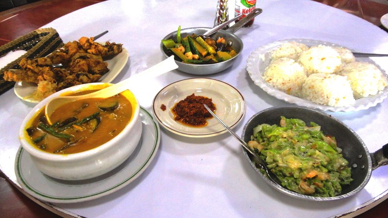
Typical fare at Solibao Restaurant
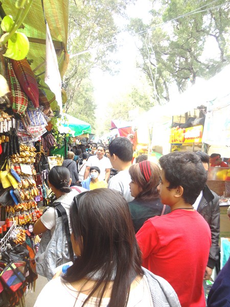
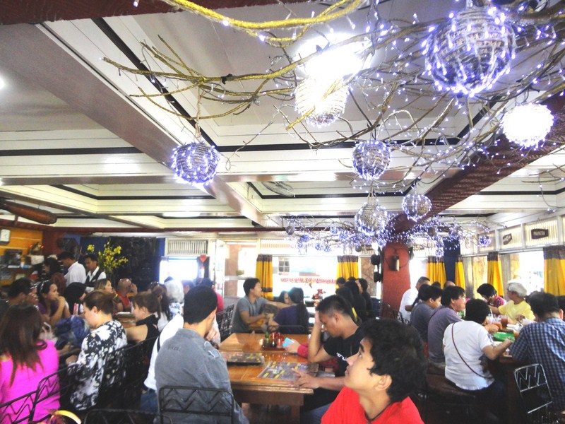
It being a long Chinese New Year weekend, the park was filled with lots of tourists and residents. We checked out the Baguio Blooms Exhibition and Exposition, an activity of the 20th Panagbenga Festival along Lake Drive. It was already past noon and, since we had lunch yet, proceeded to nearby Solibao Restaurant where we dined on kare-kare, fried chicken, gising-gising and pinakbet and topping it off with a dessert Solibao Restaurant is famous for – puto bumbong (steamed glutinous rice with freshly grated coconut, brown muscovado sugar and melted butter).
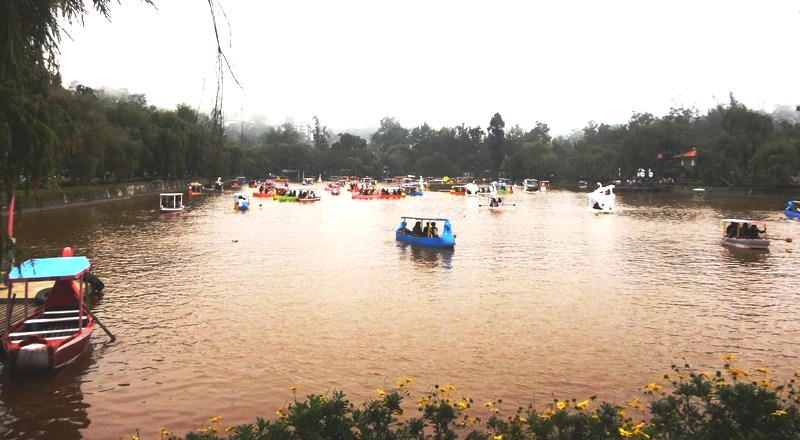
Burnham Lake
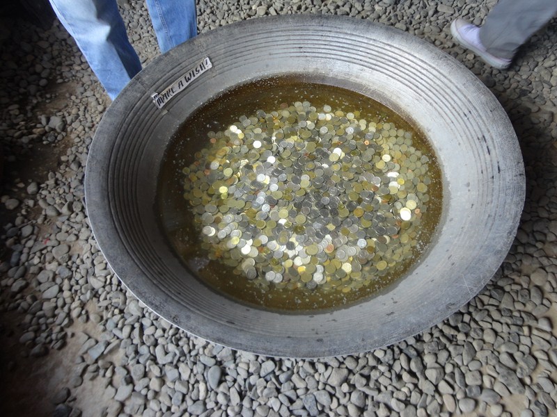
After lunch, we then proceeded to romantic, photogenic and man-made Burnham Lake, the park’s focal point that is often referred to as Burnham Lagoon. The lake was formerly a natural spring which drained northward to the foot of Session Rd. to join with the Balili River in La Trinidad. Here, we decided to rent (PhP150 for a 5-pax boat) a swan-themed rowboat for going around the lake and exercising our arm muscles. They say that any visit to Baguio City wouldn’t be complete without trying this out.
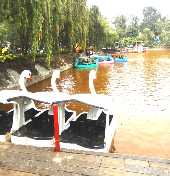
Swan boats at Burnham Lake
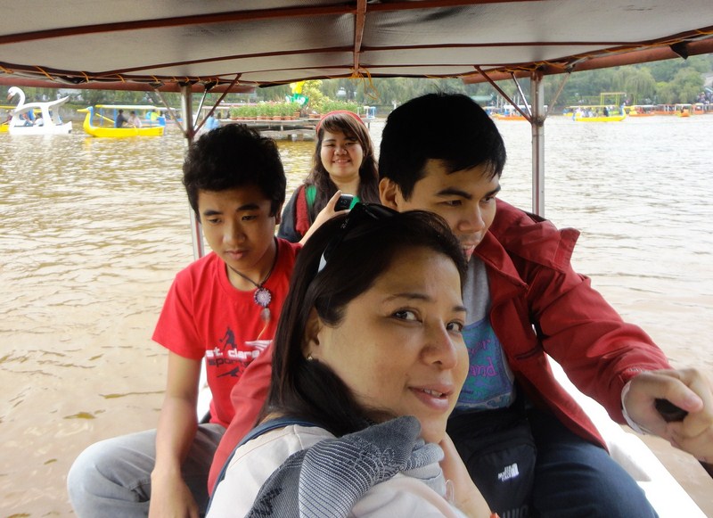
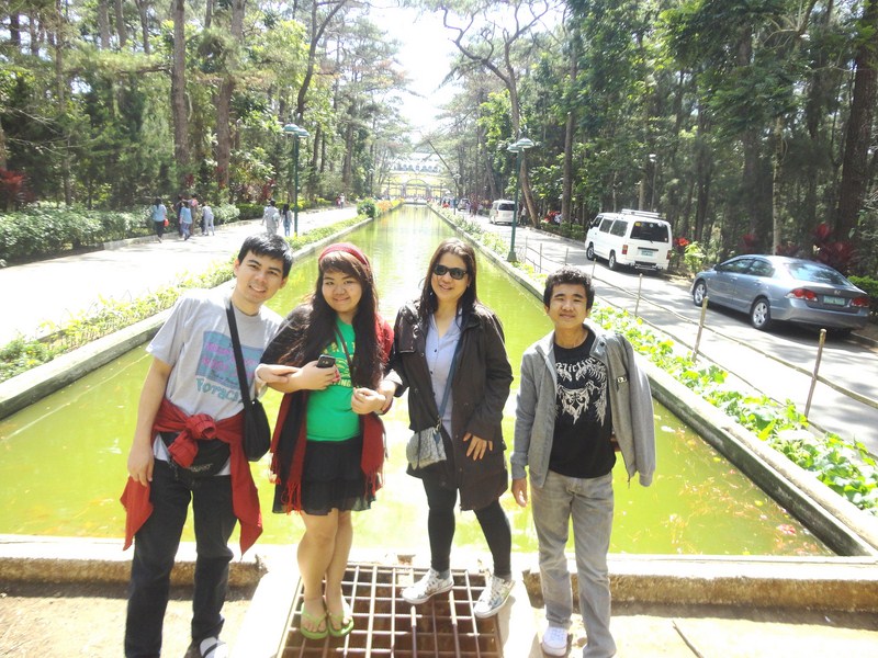
Albert, Melissa, Almira and Jandy at Burnham Lake
Then it was off to the bicycle rink where kids and adults could rent a range of bicycles if they so wish. You can rent either single bikes (PhP40/hour), tandem bikes or even bikes with side cars (PhP50/hour). They even have small children’s’ bikes of both two and three wheel versions. It is pedestrian-friendly and you don’t need to worry about bumping a motorized vehicle. Albert, Almira, Melissa and Jandy alternately tried out single BMX bikes for an hour.
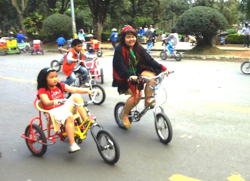
Biking for the very young, the young ………..
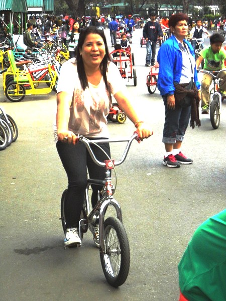
…… and even the not so young
Burnham Park’s truly is the very heart of Baguio City and, to this day, it remains one of the Philippines’ most well known and best-loved parks, making it a vibrant center of activity for everyone to enjoy.
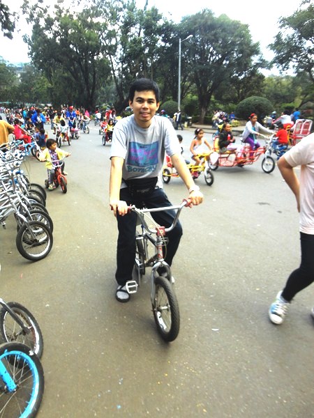
Jandy at the bike rink
Burnham Park: Legarda-Burnham-Kisad, Baguio City, 2600 Benguet