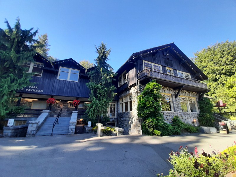
Baguio Botanical Garden
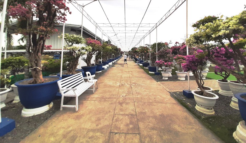
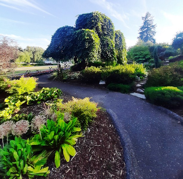
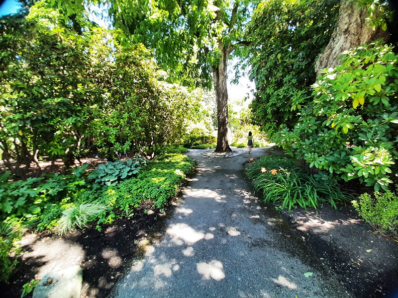
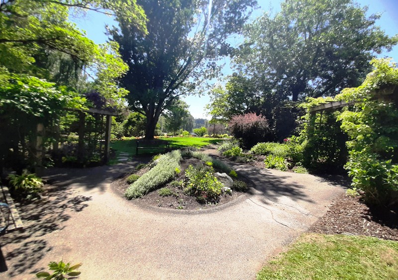
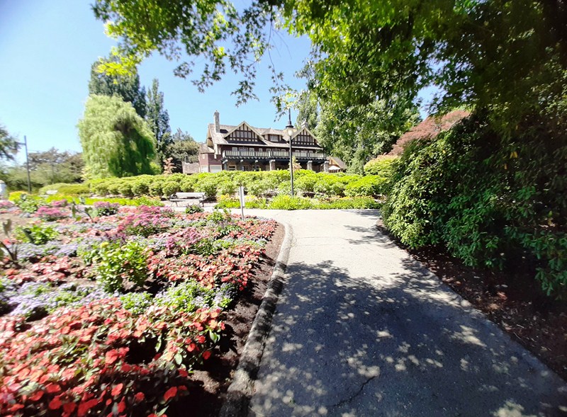
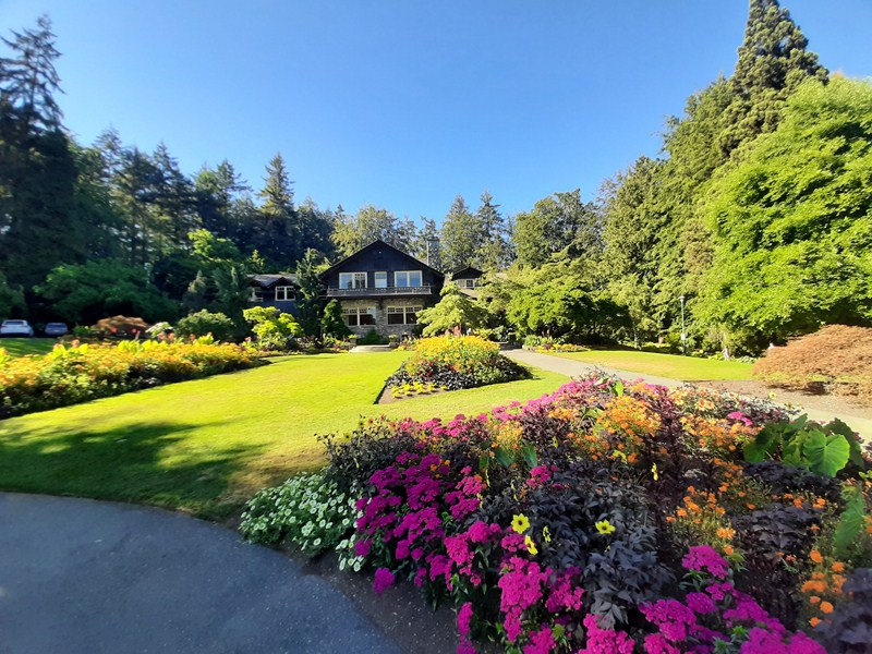
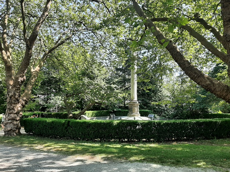
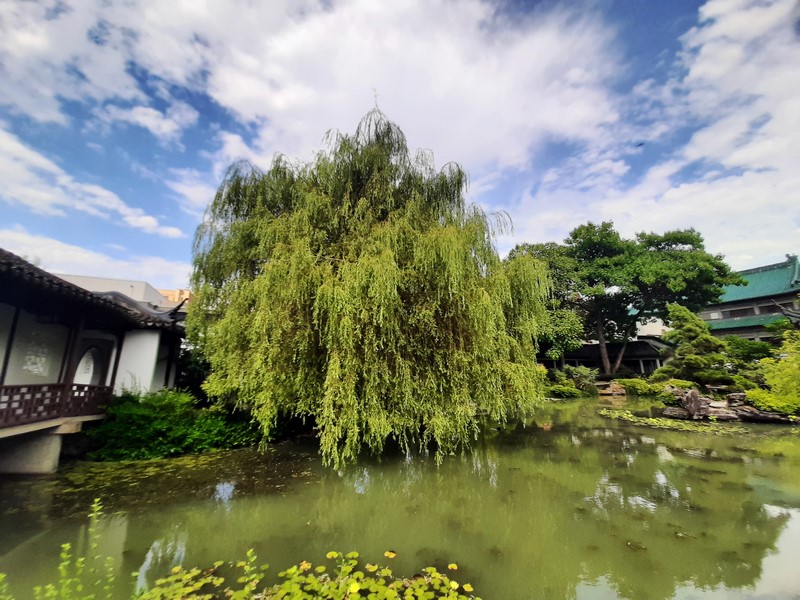
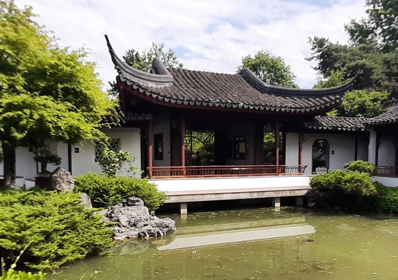
The laid-back, 16-hectare Baguio Botanical Garden, a peaceful escape from the hustle and bustle of the city, is home to a vast array of plants, including a variety of flowering plants, trees, and shrubs. You’ll find everything from blooming azaleas to towering pine trees.
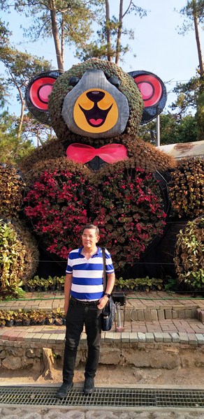
The author in front of a topiary of a Care Bear
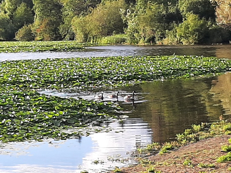
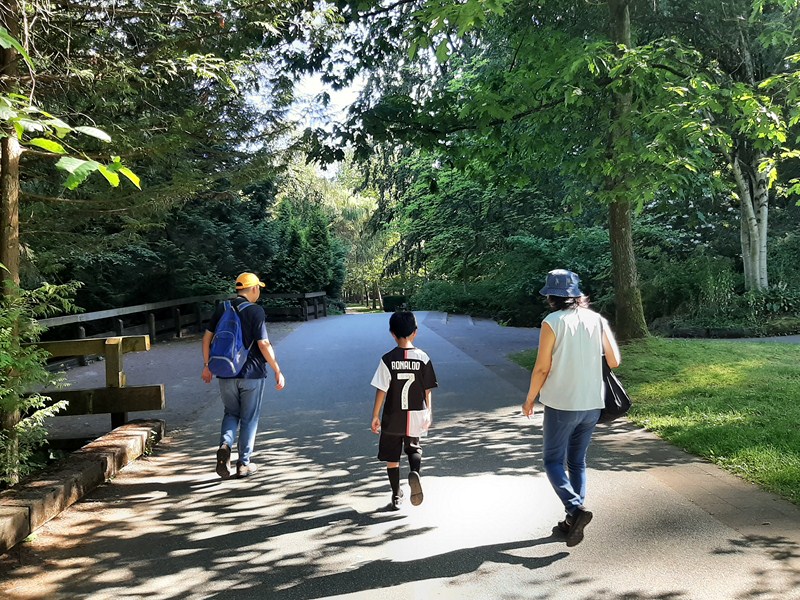
Additionally, the gardens are home to a number of wildlife species, such as squirrels and birds, that call the area home. Visitors can enjoy leisurely strolls along the garden paths, have a picnic under the trees, or simply sit and relax on one of the many benches scattered throughout the gardens.
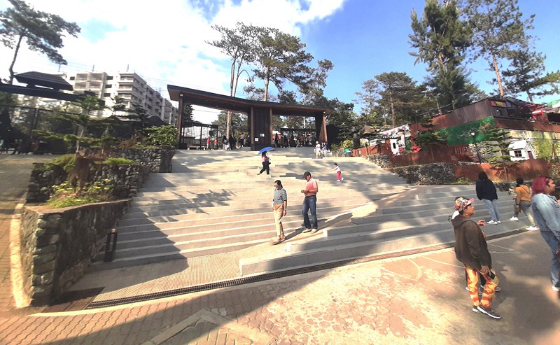
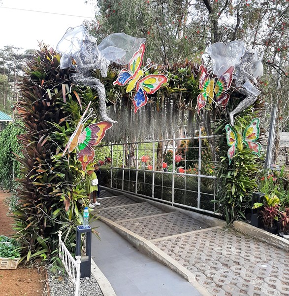
Main Entrance – Exit
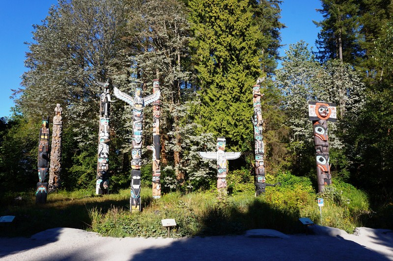
The garden went by a few different names. It was formerly the Botanical & Zoological Garden when the park was a zoo. It was also called the Igorot Village due to the culture-inspired carvings, sculptures, and huts scattered around the park.
Tala Garden
In the 1970s, it was renamed Imelda Park by Ferdinand Marcos for the former first lady Imelda R. Marcos. In 2009, it was renamed Centennial Park in honor of Baguio being “the Summer Capital” of the Philippines for 100 years.
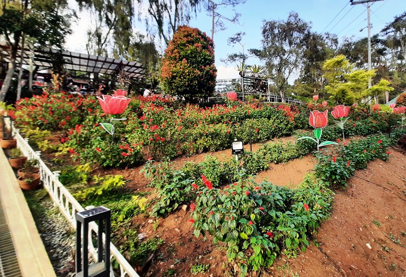
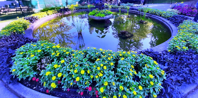
Dahlia Garden
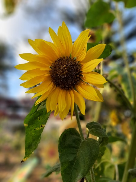
Sunflower Garden
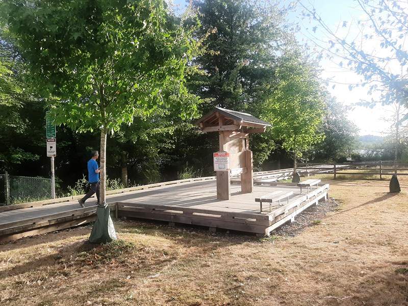
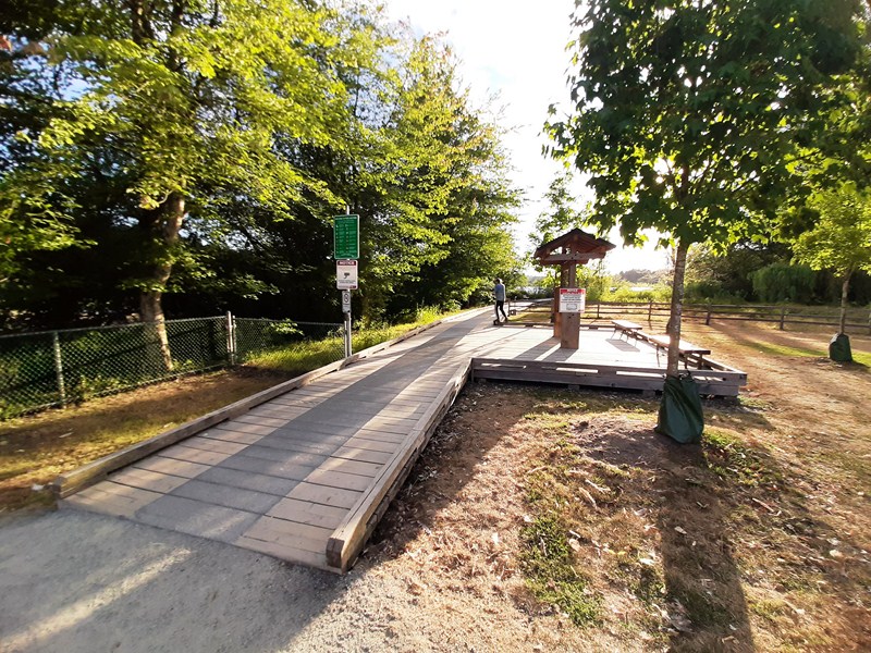
In 2021, the park closed for ten months due to the COVID-19 pandemic. During that time, it underwent a renovation which made the park more aesthetic and added ramps. Since its reopening, at least 100,000 people have visited the park each month.
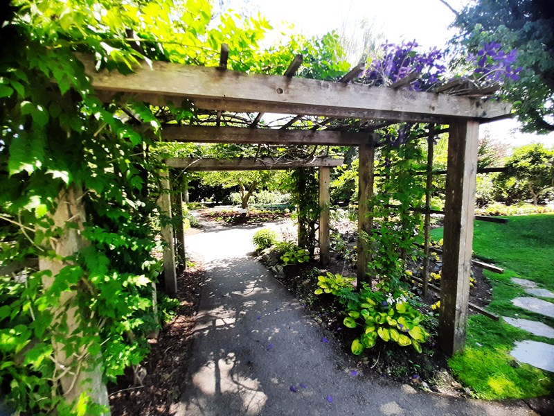
Arbor
In November 2022, after learning that few Baguio gardens have been growing the iconic everlasting plant (Xerochrysum bracteatum), the city’s official flower, members of the Philippine Mine Safety and Environment Association (PMSEA) developed the PMSEA Botanic Garden, a small everlasting farm inside a portion of the Baguio Botanical Garden.
PMSEA Botanic Garden
Garlands, made with these dried strawflowers, were among Baguio’s top-selling souvenirs as far back as the 1960s and 1970s.
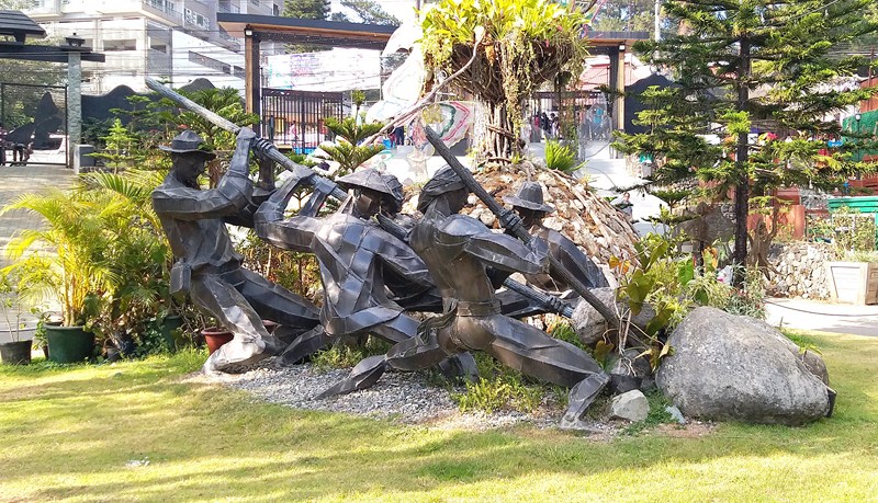
The Builders (Ben-Hur Villanueva)
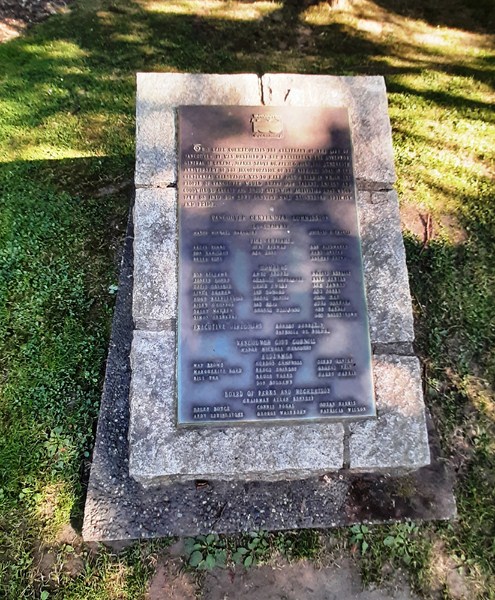
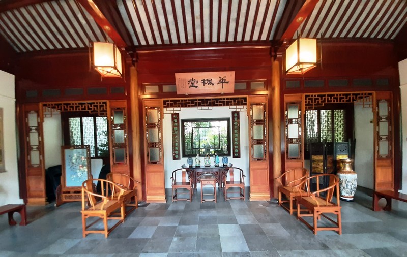
The park has art galleries provided by the Baguio Arts Guild, and sculptures displaying the culture of the Igorot people. “The Builders,” a four-figure bronze statue by the late Filipino sculptor Ben Hur G. Villanueva (1938-2020), assisted by his sons Bumbo and Jik, commemorates the people (the Igorots, Americans, Chinese and Japanese) who built Baguio. Located near the entrance, it was unveiled last September 2009 during the centennial of Baguio.
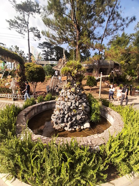
Wishing Well
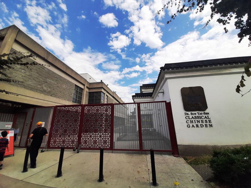
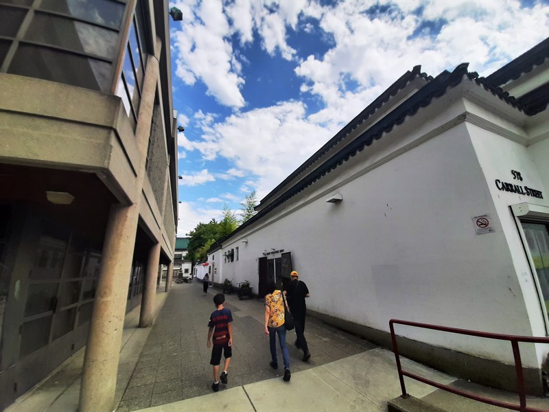
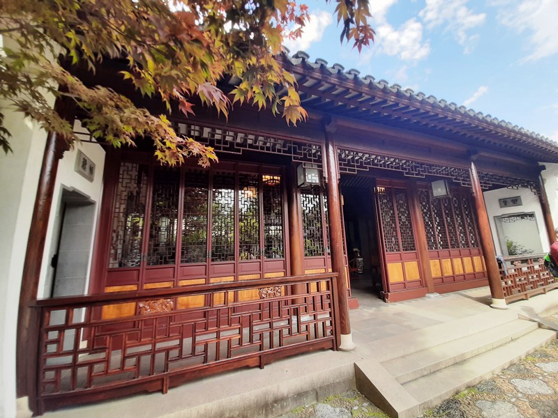
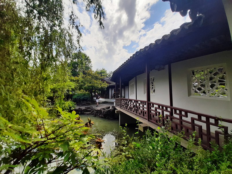
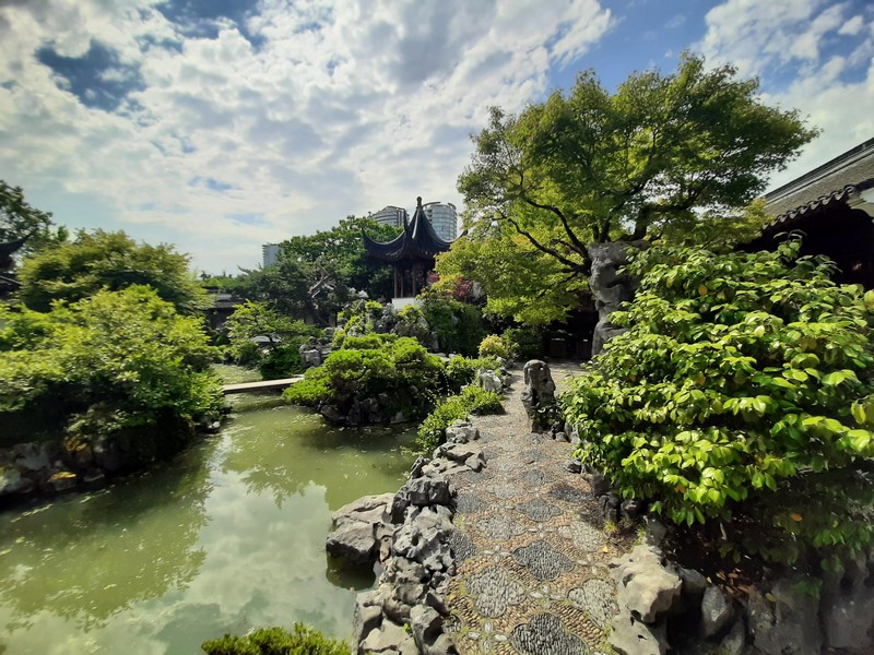
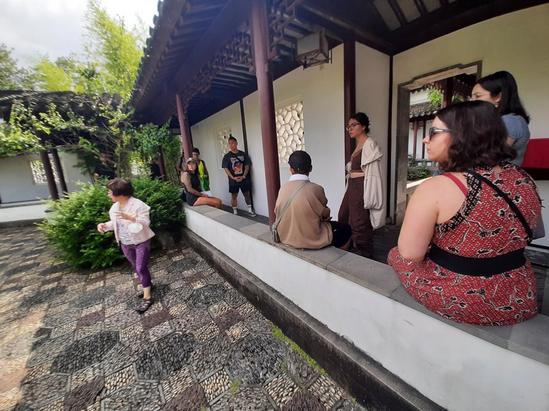
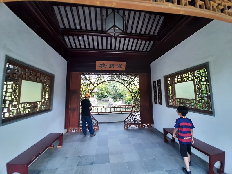
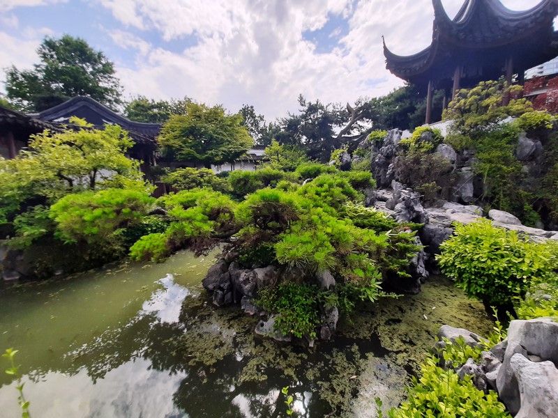
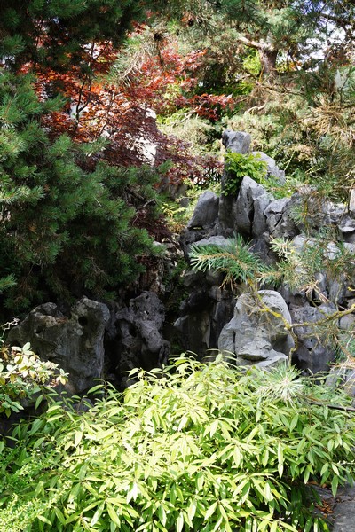
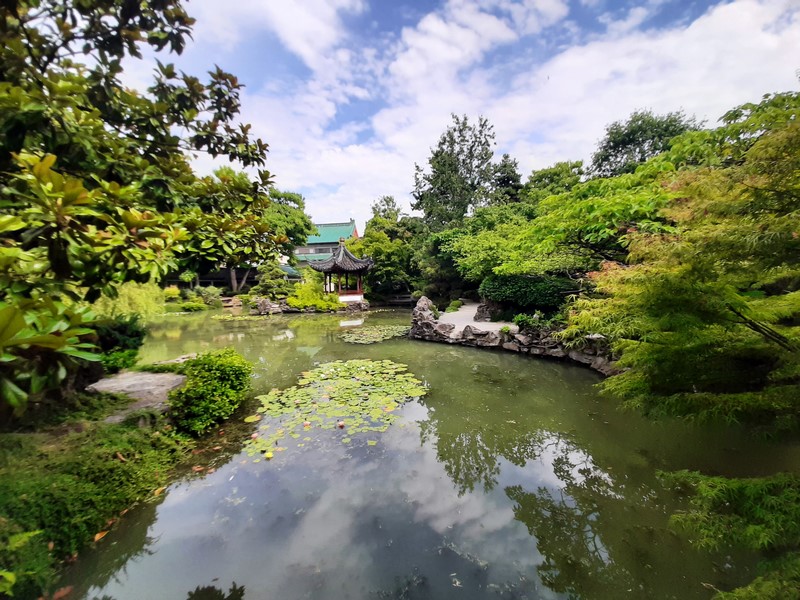
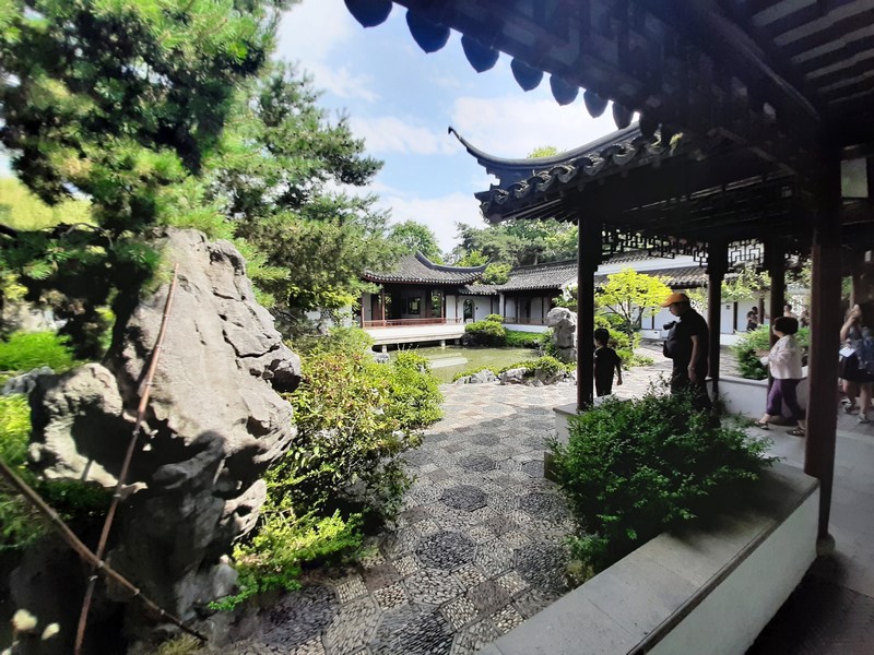
The park is divided into two different sections. It contains a number of friendship pocket gardens developed and maintained by Baguio’s sister cities in the United States, China, Japan, South Korea, Canada, and Thailand. Each contains elements of the country’s culture, such as temples and statues.
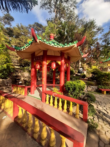
Friendship Pavilion
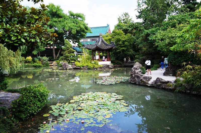
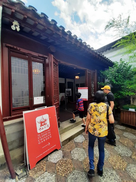
The 1,600 sq. m. Filipino-Chinese Friendship Garden has a Friendship Pavilion, dedicated on June 9, 2015, that commemorates the relationship of Baguio City with Hangzhou City in the People’s Republic of China. Welcoming visitors to this garden is a life-size statue of Po, the lovable panda from the movie Kung Fu Panda.
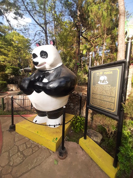
Po of Kung Fu Panda
There are also 12 four-foot high, concrete likenesses of the 12 mythical creatures of the Chinese zodiac – Rat, Ox, Tiger, Rabbit, Dragon, Snake, Horse, Goat, Monkey, Rooster, Dog and Pig. Each animal has a marker which explains what they symbolize.
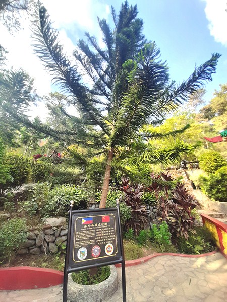
Filipino-Overseas Chinese Leader Friendship Tree
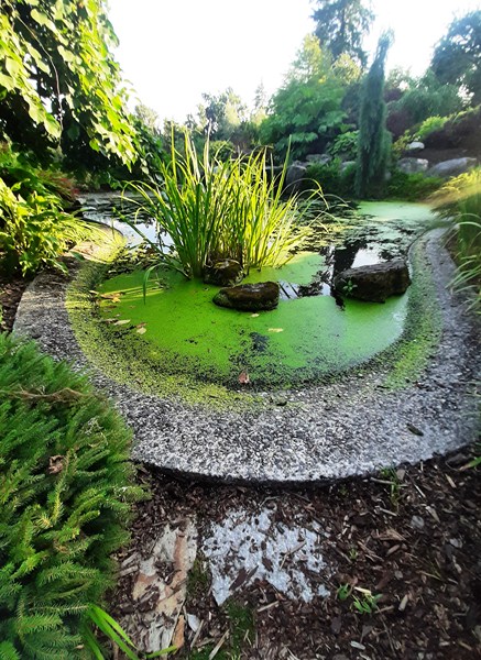
Also within is a pond (home to lotus plants) and the Filipino-Overseas Chinese Leader Friendship Tree, a Norfolk island pine tree (Araucaria heterophylla) planted on April 29, 2019, by the 49th Tsinghua University Overseas Chinese Leadership Class of 2017, headed by Mr. Fernando S. Tiong.
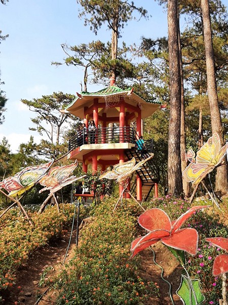
Baguio Filipino-Chinese Friendship Garden View Deck
The Baguio Filipino-Chinese Friendship View Deck, a three-storey, pagoda-like structure beside the City of Vaughan Friendship Garden, was donated by the Consulate of People’s Republic of China in Laoag City (Ilocos Norte). It serves as a view deck for the park.
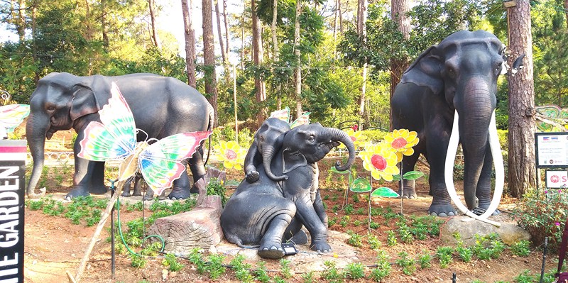
Thai Elephants in Baguio
The Philippine-Thailand Friendship Park has statues of an elephant family (“Thai Elephants in Baguio”), surrounded by yellow marguerite (Argyranthenum frutescens) flowers and towering trees, which were designed and crafted by three famous Thai craftsmen – Somphong Boonthip, Prasan Prasatketkam and Nitithivat Khantharankham.
Commemorating 70 years of diplomatic relations between the Philippines and Thailand, they were erected on December 18, 2017 in collaboration with the Royal Thai Embassy, Baguio City government, Philippine-Thai Cultural Organization, and the SCG Mariwasa Inc..
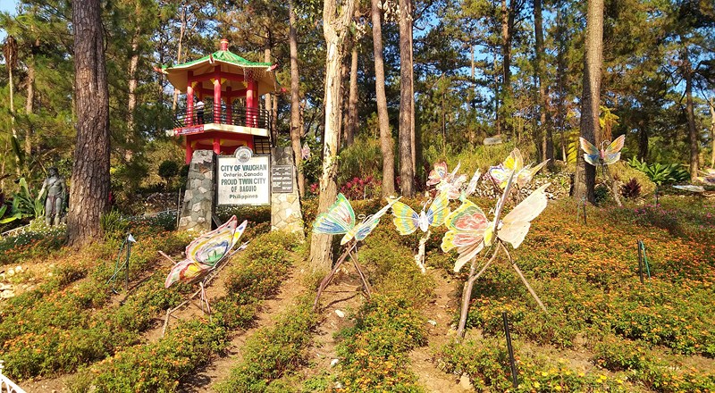
City of Vaughan Friendship Garden
The City of Vaughan Friendship Garden has a gazebo, amid color-coded, well-tended rows of flower beds (Dwarf Cosmos, etc.) under pine trees, representing the relationship of Baguio with the City of Vaughn in Ontario, Canada.

Taebaek Park
The small Taebaek Park has a pavilion representing the relationship of Baguio with Taebaek in South Korea.
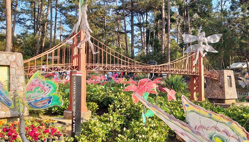
Miniature of San Francisco’s Golden Gate Bridge
The miniature replica of San Francisco’s Golden Gate Bridge, within Milflores Garden, represents the relationship of Baguio with the City of Vallejo in California, USA.
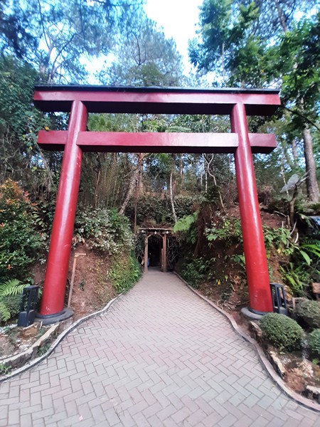
The bright-red torii leading to the Japanese Tunnel
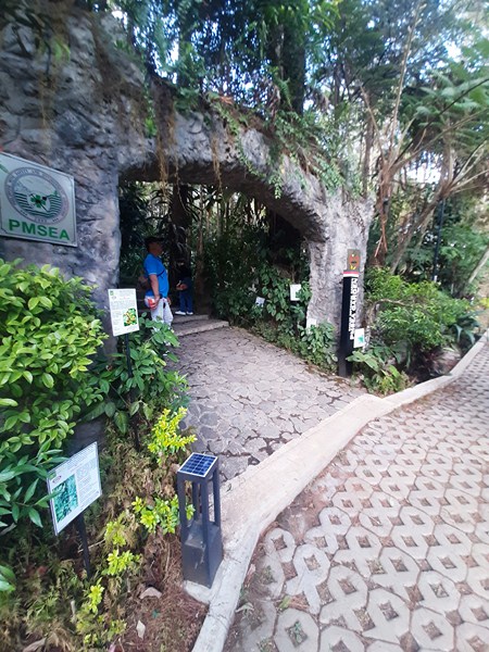
The Japanese Tunnel, in the Japanese-Filipino Peace Memorial Park (representing the sisterhood of Baguio with the Japan cities of Karuizawa and Wakkanai), is one of the garden’s main attractions and a must-see for history buffs. This 150 m. (490 ft.) long tunnel which was dug out, between 1942 and 1945, by Japanese Imperial Army soldiers during World War II for use as storage of war materials and supplies, treatment center, and a bunker.
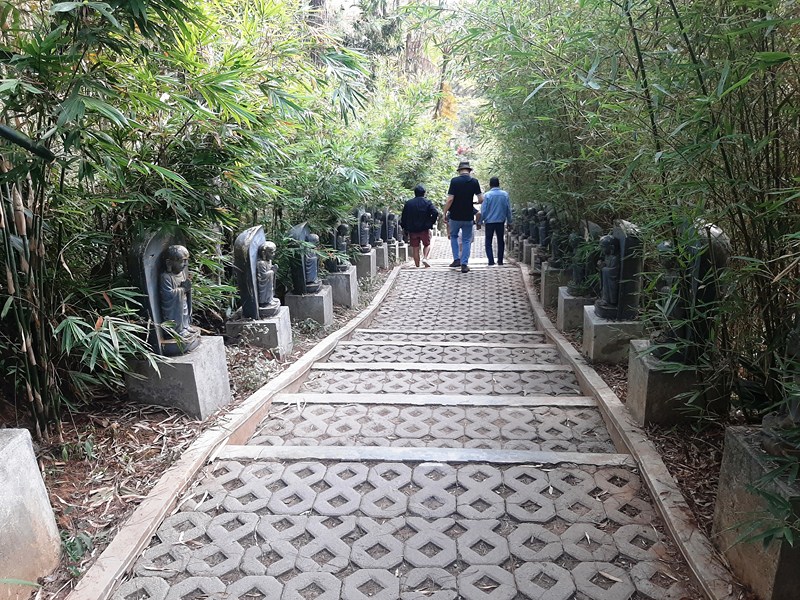
The Buddha statue-lined path leading up to the tunnel.
It stretched to parts of Outlook Drive, Pacdal and Cabinet Hill, but these areas have been closed off to prevent people from wandering and getting lost. Along the walkway are 30 cubicles high and deep enough to hold several people at one time. The path leading up to the tunnel, its entrance marked by a huge red torii, is lined by small Buddha figures and a bamboo grove.
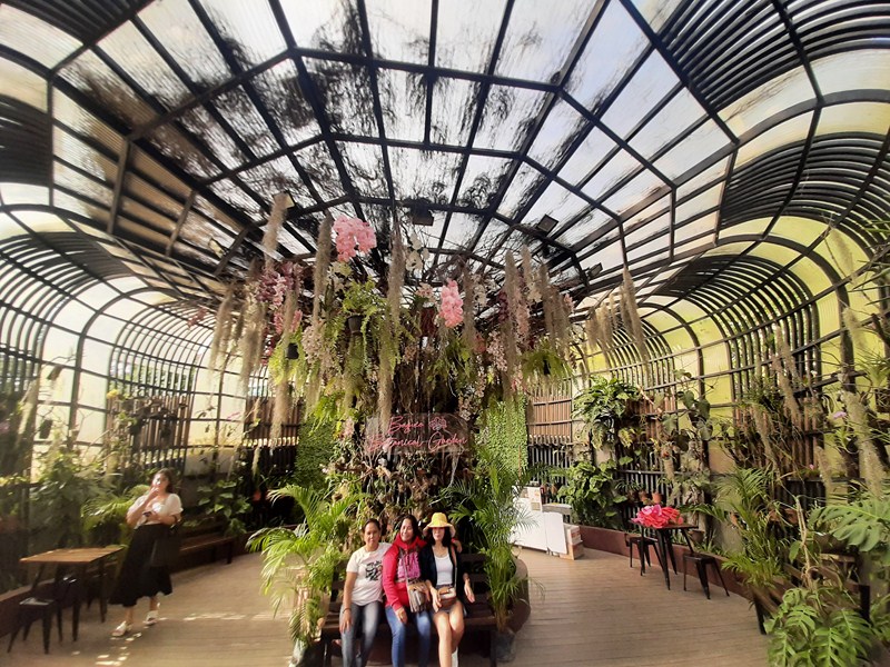
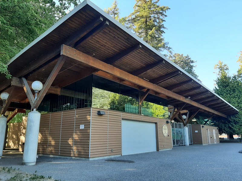
The Orchidarium
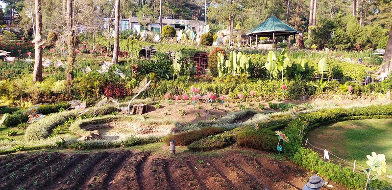
The park also contains a sunflower farm and gardens spotlighting dahlia, marguerites, etc.
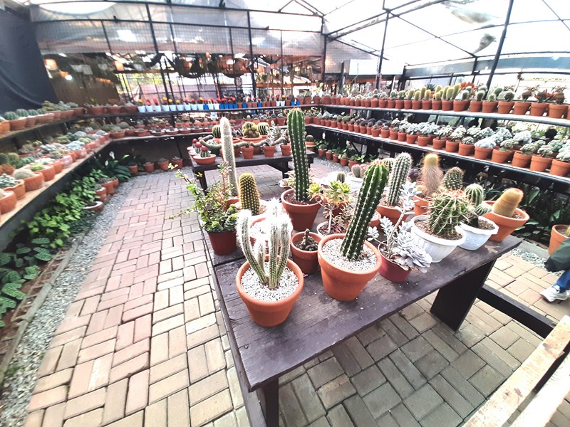
Cactus and Succulents
The orchids are housed in an Orchidarium with benches while the cacti and succulents are housed in a greenhouse.
Cordillera Village
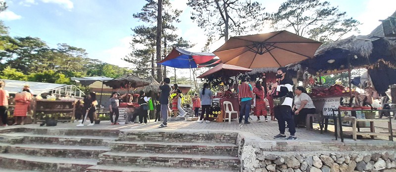
The Cordillera Village, a community of huts, showcases indigenous art, traditions and products of the region. Offering a glimpse into the rich culture and heritage of the Cordillera region, you can see weaving and woodcarving demonstrations, as well as exhibitions of indigenous clothing and jewelry, and also dress as an Igorot. At the park entrance, you can also take photos (for a fee) with traditionally dressed Igorotas.
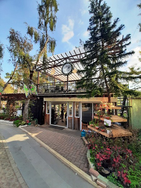
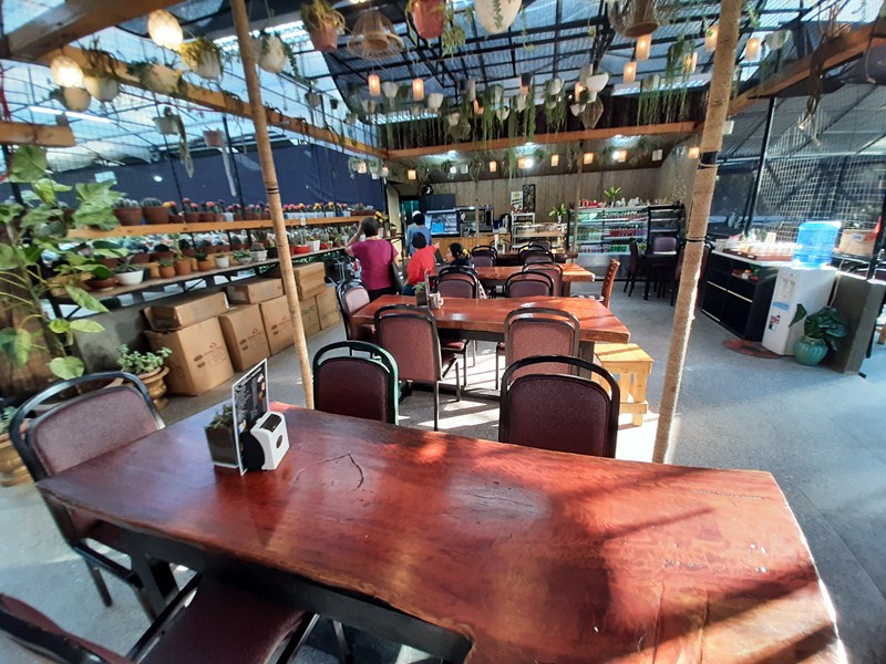
Cafe de Fleur
Also within the park are public toilets, a coffee shop (Café de Fleur) and an arbor filled with colorful vines such as Spanish Moss and Scarlet Clock Vines.
La Bella Espina
On your way out of the park, you will pass a number of souvenir stalls selling t-shirts, tote bags, woodcarvings, sweets, scarves, etc.
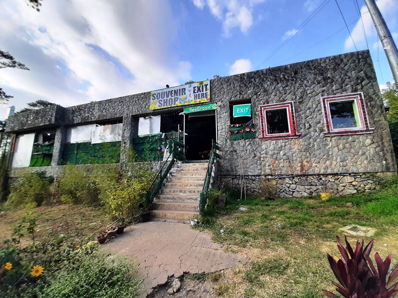
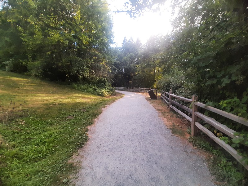
Path leading up to the Souvenir Shops
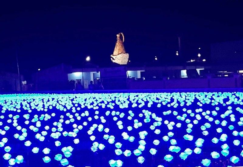
Throughout the year, the vibrant and lively Botanical Garden plays host to a number of events and festivals. From flower shows to music festivals, the most popular of which are the Panagbenga Festival, the Flower Festival, and the Baguio Arts Festival.
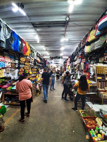
Souvenir shops
Baguio Botanical Garden: 37 Leonard Wood Rd., Baguio City, Benguet. Open daily, 6AM – 6PM. Admission: Php100 (adults), Php50 (Baguio residents, 13 years old and above) and Php0 (Baguio residents, 12 years old and below). Coordinates: 16°24′52.42381″N 120°36′47.49145″E.
How to Get There: located between Wright Park and Teacher’s CampWright Park and Teachers Camp, one kilometer from Session Rd., commuter jeepneys, from the Central Business District, bound for Mines View Park, Pacdal Navy Base, Bekkel, Country Club and Tuding in Itogon, pass by this place.